|
|
|
California fire maps
Canada fire maps National Interagency Fire Center 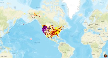
click on the map then bypass the login requirement by pressing CANCEL a couple of times San Bernardino County fire page on X Riverside County active events view current wind warnings weather.gov/losangeles 3d map at ARCGIS USA/Mexico/Canda/Alaska/Hawaii
|
If you evacuate in an emergency and leave your car IN THE ROAD consider leaving keys in car.
In the Palisades California fires of January 2025 abandoned cars were BULLDOZED out of the way!!!